


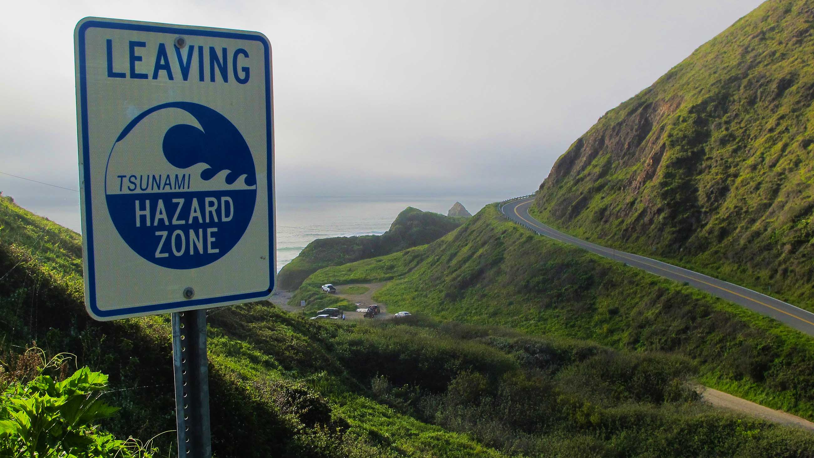
Bracing For the ‘Big One’ on Oregon’s Coast
Last month, Oregon State University held a short course for consultants, engineers and government officials on earthquake resiliency and emergency preparedness. The question on everyone’s mind: How the Pacific Northwest should prepare for a major earthquake — and perhaps an accompanying tsunami.
The looming temblor was detailed in The New Yorker magazine last July, and it was further forecasted last week by a new study, which suggested that the chances of a “massive earthquake” hitting one region of the Cascadia subduction zone — a large offshore fault running from Vancouver Island to northern California — in the next 50 years was somewhere between 15 and 20 percent.
That was revised upward from the 14 to 17 percent chance established by earlier models.
“The last major earthquake on the Cascadia subduction zone – pinpointed in time because it caused a tsunami that raced all the way across the Pacific Ocean to Japan,” the authors of the new paper noted, “occurred in January, 1700, more than 315 years ago.”
The clock, it would seem, is ticking.
In response, the private sector and city officials are partnering to develop protection plans for communities perched precariously along Oregon’s coast. Daniel Cox, a professor of civil and construction engineering at Oregon State University, has been using Google Street View, tax lot maps, and other sources of information to estimate potential building damage and economic losses should a tsunami or an earthquake — or both — arise. At last month’s short course, Cox presented a case study of Seaside, a summer resort town northeast of Portland.
“Seaside is one of the most vulnerable spots along the Pacific Coast to a tsunami and earthquake,” said Cox. “Because a lot of the tourism activities are concentrated along the waterfront, it puts them furthest from the safe zones, which are about a mile from the waterline.”
“What Seaside allows us to do,” Cox added, “is look at something real and tangible and understand what kind of information we can get from communities – information about civil infrastructure, for example – and figure out what we can do with it.”
That information is valuable to local government agencies and utility companies, which have joined Oregon State University under the Cascadia Lifelines Program, a multi-stakeholder research program on earthquake resilience and emergency management that Cox directs. Through the program, government agencies, utilities, and researchers share information to help plan evacuation routes, identify weak points in transportation and utility networks, and prioritize old buildings for retrofitting.
The questions are tough, says Cox. In the event of a tsunami, should people be directed to a sturdy parking garage, for example, or be evacuated across bridges that may collapse?
“There’s no answer in the back of the book,” said Cox, which is why the Cascadia Lifelines Program was started and why the resilience issue is so pressing. But Cox points out that it is only in recent years that the “big one” has become front-and-center in Oregon’s cultural consciousness. Evidence of that, he says, is Oregon’s appointment of its first State Resilience Officer.
“After the New Yorker article, it kind of pushed over the top,” he said. “Oregon’s got to start working on it. This is too big to ignore.”