


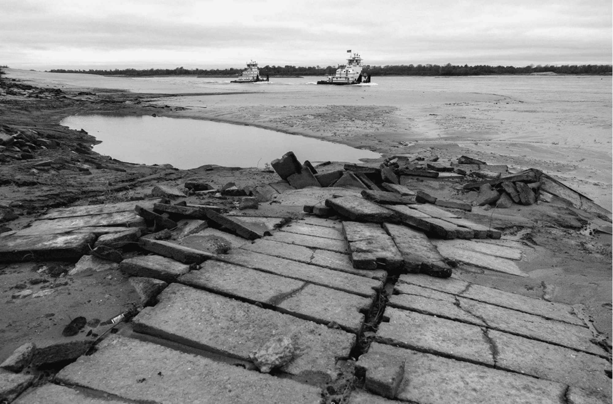
Every year, when the Mississippi River falls to its summer low, a floating factory — and summer home to around 300 crew — resumes its never-ending task: blanketing the riverbank with concrete. Consisting of multiple barges linked together, the vessel is deployed by the U.S. Army Corps of Engineers to sink concrete mattresses onto the river’s soft banks and murky bottoms.
Like armor, the concrete fortifies the river’s shape and prevents erosion. This anchors the Mississippi River — which, like any river, wants to wander — in place. The work has been ongoing for 70 years, necessitated, in part, by the decision in 1933 to dynamite through a southern stretch of the river that once bent back and forth like a crazy straw. And so, a straightforward path for commercial navigation was born. And with it, a stronger current, inadvertently encouraging the river to scour hunks of soil from its banks.
BOOK REVIEW — “The Great River: The Making and Unmaking of the Mississippi,” by Boyce Upholt (W. W. Norton & Company, 352 pages).
It’s this pattern of meddling and unintended consequences that journalist Boyce Upholt traces in his history of America’s mightiest river, “The Great River: The Making and Unmaking of the Mississippi.” It’s an epic history in both scale and time, from the drifting and rending of the North American continent to the ruthless expansion of the young United States. Today, the Mighty Mississippi is a vital economic artery, with nearly half of all inland waterborne commerce flowing through its waters each year. On either side of the river, productive farmlands churn out more than 90 percent of the nation’s agricultural exports.
Attempts to control the Mississippi have saddled the country with a slew of problems: floods, federal overspending, land loss, poverty, environmental injustice. Upholt, who lives in New Orleans, suggests it’s time to cede to the power of the river. Locks and levees “aim to freeze an ever-changing river in place; like a map, the concrete and steel will wither with time,” he writes. “Beneath the infrastructure, another Mississippi River persists.”
The Ojibwe people knew the river as Misi-ziibi, which has various translations: “Big River, “Long River,” or, as Upholt prefers, “Great River.” It implies a sense of respect, something the continent’s ancient civilizations must have felt when they built massive riverside earthworks, imbued with their understanding of the cosmos. The order of the sun and stars above, the chaos of water below, “ever changing, but also abundant and fertile,” Upholt writes. “Neither is preferable and both are necessary.”
“Beneath the infrastructure, another Mississippi River persists.”
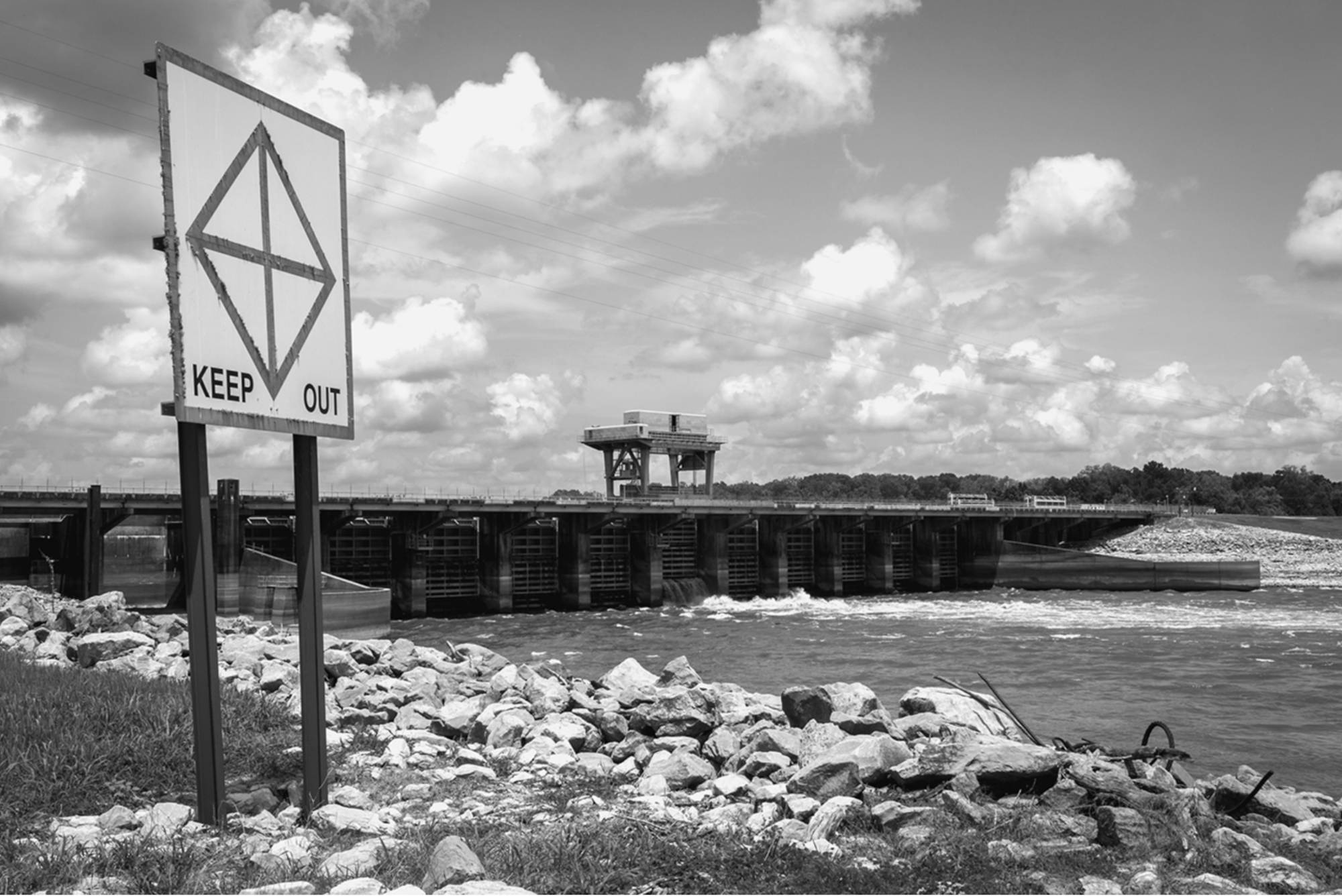
But European colonists and American pioneers viewed the river as a “terrible enemy,” as something to be tamed. That’s the mindset that gave rise to the Army Corps’ Mississippi River and Tributaries Project, or MR&T, the vast system of levees, locks, and dams that manages flood risk and navigation. It’s a system long plagued by misspending, construction delays, and projects that fall far short of what they promise. Advocates of the MR&T, and the waterborne commerce it supports, highlight the $7 billion to $9 billion in shipping costs saved each year. Upholt notes more than half the cargo that passes through this system is coal and petroleum — “so this amounts to a massive subsidy for one of the nation’s dirtiest sectors.”
The history of the river as we know it, Upholt argues, is mostly unnatural. In his telling, it is also non-linear, snaking its way through time. It can be disorienting, but so goes the water.
Upholt follows a plodding parade of men (it’s all men) who have shaped the United States’ management of the Mississippi. Consider Army Corps engineer Andrew Atkinson Humphreys. In 1849, after a levee breached upstream of New Orleans, submerging the city for a month, Congress tapped Humphreys to study flood control. While Humphreys collected his data, another prominent civilian engineer, Charles Ellet, Jr., warned in his own report that too many levees spelled disaster. “The process by which the country above is relieved, is that by which the country below is ruined,” he wrote. Instead, Ellet proposed a system of reservoirs and bayous — widened in some places and artificially constructed in others — that would intercept and release rushing floodwaters to the ocean.
Blinded by ego and eager to say something different, Humphreys concluded that, actually, levees were the best course of action. Later, Congress would lean heavily on Humphrey’s work when it ordered the levees built up and down the Mississippi. Levees now line the last thousand miles of the river; all told, more than 2,000 miles of levees run across the watershed.
The trouble is we humans operate on much different timescales than the river’s slow geological roll. River engineering is less control, more “trial-and-error experiment,” Upholt observes. Too often, the consequences of these “trials” take decades to recognize. Louisiana is notoriously losing land; according to one often-cited statistic, the water-logged state loses, on average, a football field worth of wetlands every 100 minutes.
So it’s unsettling when Upholt digs up descriptions of land loss in the Bayou State as early as 1897. A National Geographic writer described how an old Spanish armory on the coast had sunk a foot into the Gulf of Mexico. Others wrote about the phenomenon over the years, but Upholt finds no sense of concern until a geologist sounded the alarm in 1970.
The book is most engaging when we paddle into the present day, where Upholt’s deep dives into the archives are complemented by his on-the-ground (or in-the-water) reporting. He has canoed the length of the lower river and takes us to its inaccessible stretches. Witness after nightfall, the eerie glow of riverside oil refineries in Louisiana’s Cancer Alley — so named for the enormous health burdens that the area’s mostly Black residents shoulder — or admire the willows on a Kentucky island, formed by dam-trapped sediment, so young it doesn’t show up on Upholt’s decade-old map.
It’s unsettling when Upholt digs up descriptions of land loss in the Bayou State as early as 1897.
The prose is often lyrical, reverent. “On some mornings, the water lifts into mist so thick you realize there is no end to the air and no beginning to the water, so your boat floats upon and within the river at once,” he writes.
Upholt knows many before him have written about attempts to control the Mississippi. But where others have seen a battle between man and nature, he sees a squabble — man versus man. “It’s always a fight among humans, people who can’t agree what kind of world they want to build,” he writes. Climate change heightens the stakes. And the reality is, even when there is consensus, the result can be prohibitively expensive. That’s the case in Missouri’s Atchison County, where the local levee board wants to move the levees farther from the river to relieve pressure on the structure. Construction costs up to $24 million per mile, money the Army Corps isn’t willing to spend on an ostensibly working levee.
It’s an argument that Upholt knows can’t easily be resolved. To farmers, for instance, solutions like giving the river room and restoring the floodplain amounts to land theft. (Forget the fact that Black farmers in Mississippi, shut out of New Deal funding, lost some 800,000 acres between 1950 to 1964.) Or take Louisiana’s biggest coastal restoration project, which broke ground last year but was recently caught up in legal challenges. The project would release a torrent of fresh water and land-building sediment into the Barataria Basin. But the deluge would also devastate the region’s dolphins, as well as oysters and shrimp — and the commercial fishers who depend on them.
Upholt has his eye on radical change: a shift in our relationship to the river. He suggests we’ve been running on borrowed time, working stolen land. Land that “is not really land but a severed piece of river,” he writes.
For guidance, Upholt looks to Indigenous wisdom, recognizing that this relationship would be a return to the pre-colonial status quo. In Louisiana’s Barataria Bay, an elder from the Atakapa-Ishak/Chawasha Tribe in Grand Bayou shows Upholt an ancient mound that’s gradually slipping under the rising Gulf waters. Volunteers have piled sacks of oyster shells to create a reef that surrounds and protects the mound. But they accept that eventually, despite their efforts, it will disappear.
“Perhaps what people learn after thousands of years of living along one of the world’s great rivers is that change is inevitable, that chaos will come,” Upholt writes. “That the only way to survive is to take care — of yourself and of everyone else, human and beyond.”
Lina Tran is a writer from the Alabama coast who is based in Milwaukee.