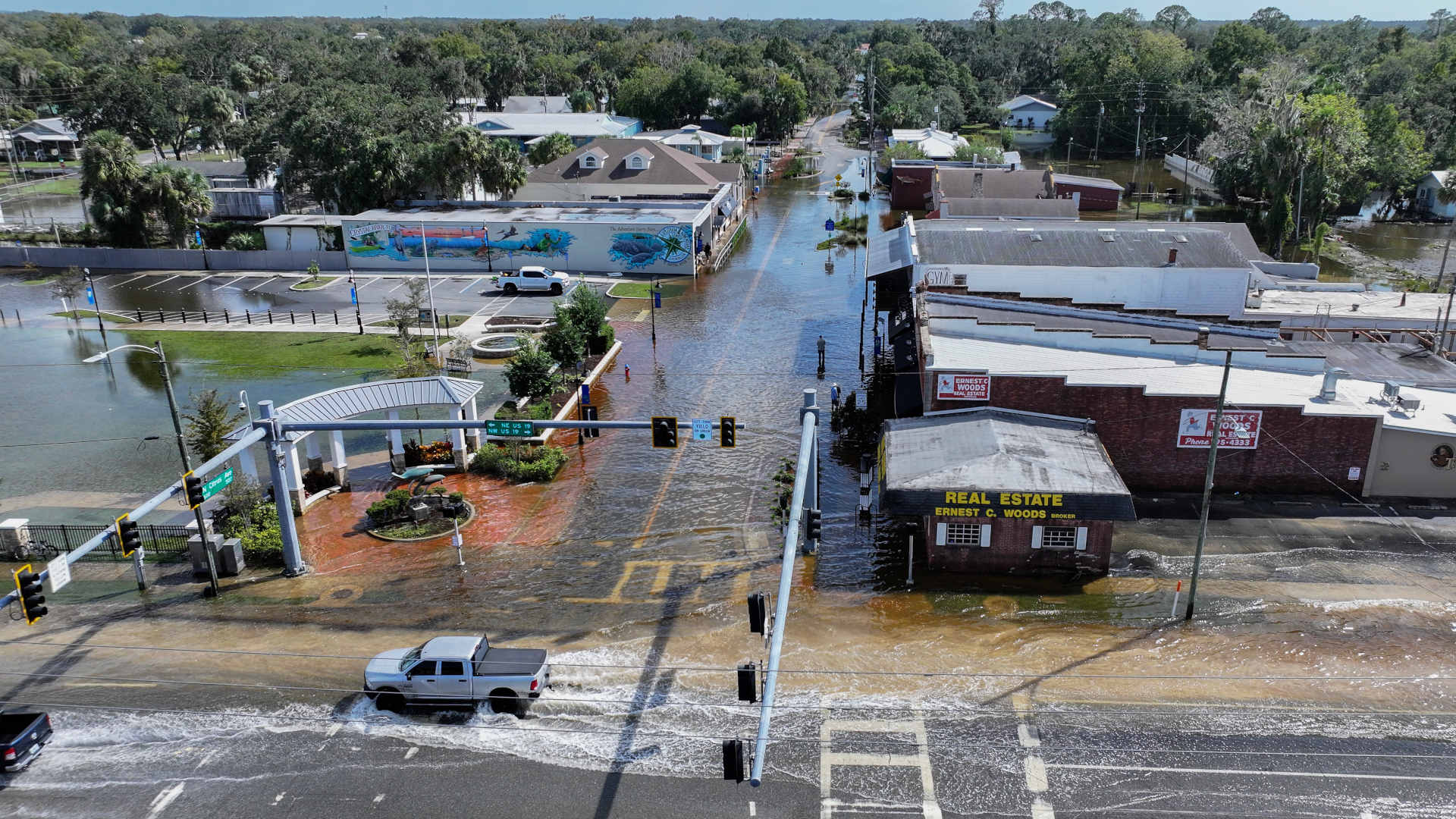
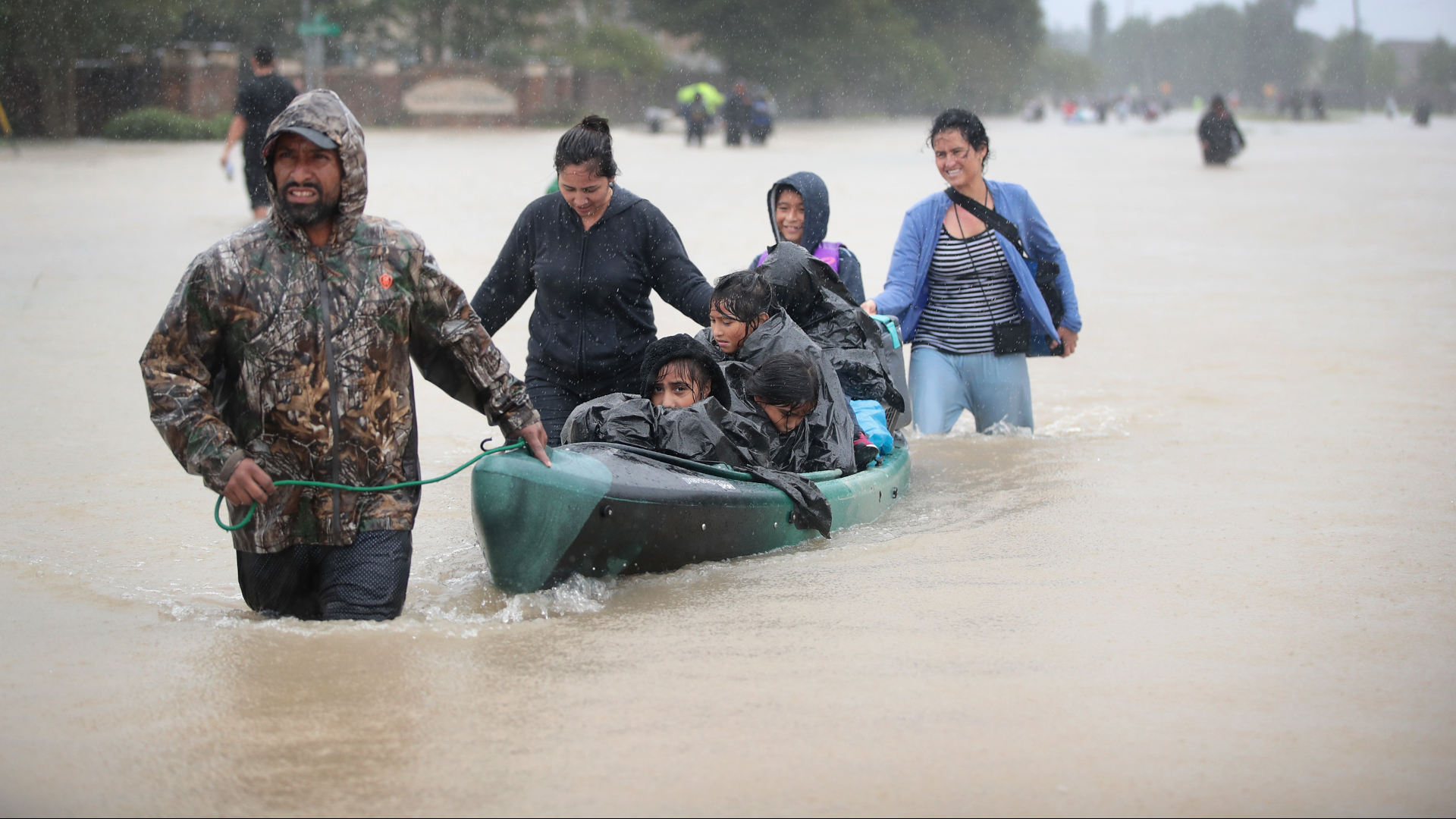
With the 2024 Atlantic hurricane season now behind us, my fellow oceanographers and I are reflecting on some of the major storms this season, namely Hurricanes Helene and Milton. Countless towns and residents continue to grapple with the aftermath, trying to piece together lives that were upended in mere days. Homes, memories, and communities were devastated, leaving a landscape forever altered. Thinking about these storms, we must ask ourselves: What have we learned, what’s missing, and how can we better protect ourselves against future flooding impacts?
The stakes could not be higher. According to the National Oceanic and Atmospheric Administration, 2023 was a historic year for billion-dollar weather disasters, with over $92 billion in damages recorded across the U.S. That figure could be surpassed in 2024 as flooding events from both tidal and storm impacts are expected to become more frequent and intense.
Scientists have long acknowledged this, and now communities and insurance companies alike are adjusting their approach in response to this evolving threat. They’ve recognized the critical role that precise data plays and are changing the way they collect and utilize it. Traditional methods of measuring how high the water rose after flooding events are no longer an appropriate approach for insurance assessment nor an effective strategy for planning for the future.
While the U.S. boasts strong storm prediction and tracking systems, the upkeep and resources needed for local-scale water, coastal, and flood monitoring are currently limited. Such detailed information is essential not only for forecasting but for risk assessment, prevention, real-time emergency response, and insurance payouts. The more refined the data, the more accurately communities can respond to disasters and prepare for future events.
Thinking about these storms, we must ask ourselves: What have we learned, what’s missing, and how can we better protect ourselves against future flooding impacts?
One major shift in insurance is the move toward parametric or index-based insurance, which pays out a predetermined amount based on specific triggers, like storm surge or wind speed, rather than waiting for subjective damage assessments. This method depends heavily on accurate, real-time data instead of anecdotal evidence, pictures, or videos to measure flooding. Without accurate data, assessing risk is nearly impossible. And when insurance companies lack that data, they may be more likely to pull out of regions unnecessarily, leaving communities vulnerable and uninsured — precisely when flood coverage is needed most.
This is where public-private partnerships become critical. My colleagues and I cofounded Hohonu — a company that provides real-time and relatively low-cost water monitoring nationwide — as a way to close the gaps between federal sensor networks and local needs, providing insurance companies and local governments with data that can guide resilience efforts and help effectively protect citizens.
The recent hurricanes provide valuable lessons. Both Helene, which made landfall in the southeastern U.S. in late September, and Milton, which hit Florida less than two weeks later, added to the growing body of data that allow us to better understand how storms affect specific regions. Following Hurricane Ian in 2022, Lee County (Florida) Public Safety contracted Hohonu to deploy new hyperlocal tide gauges and inundation sensors to complement the single federal tide gauge in the region. No two floods are alike, which was showcased by the new tide station network, which had localized tide gauges monitoring impacts from Helene and Milton.
We found that while Milton caused higher floodwaters, Helene left areas submerged for longer — potentially delaying emergency response and impacting transportation. These kinds of instances emphasize the need for real-time monitoring of water levels before, during, and after storms and flooding events. Such hyperlocal data are essential not only for immediate response efforts but also can help in modeling the impact of future storms, inform long-term planning, and lead to smarter reconstruction efforts.
When insurance companies lack that data, they may be more likely to pull out of regions unnecessarily, leaving communities vulnerable and uninsured — precisely when flood coverage is needed most.
Community-led data initiatives are critical in order to adapt to a changing climate. By equipping local areas with affordable, durable flood sensors, we empower those who are most impacted by these storms. Previously, we found sensors were too expensive, large, and out of reach for individuals, and data were packaged with scientists in mind as the primary audience. Now, with more cost-effective tools allowing for more sensor deployments and modern data science tools making data more accessible and actionable for non-scientists, communities, city planners, insurance companies, and government agencies can all benefit from the addition of real-time water-level monitoring. Such initiatives can integrate local data into broader national networks, improving the accuracy of storm surge models and allowing scientists to better predict how future storms will be influenced by global warming.
The path forward is clear. Public-private partnerships, local knowledge and initiatives, and improved sensor networks will provide the data we need to better predict, prepare for, and respond to storms. By working together, we can build stronger, more resilient communities that are equipped to face the challenges ahead. Let’s ensure that the next time a hurricane hits, we’re not just recovering, but better prepared for what’s to come.
Dr. Brian Glazer is an associate professor of oceanography at the University of Hawaii and cofounder and CEO of Hohonu. Inc.
Additional Sourcing and editing provided by Carlie Wiener.


Good luck the republicons do not believe in climate change. Anyway they getting ready to stop funding anything that helps people. Hahahaha watching the poop hit the fan not going to be petty.
OR : is the data there and people don’t trust data? They don’t build to code, they rebuild their flooded properties same place same way with no anticipation that it’s going to happen again? Not to mention insurance companies tell them and rather build without insurance and then need federal help? Counties have codes that say, don’t build that there but no one listens or enforces. Not sure Data is the problem here.