


Taking the Pulse of the Planet
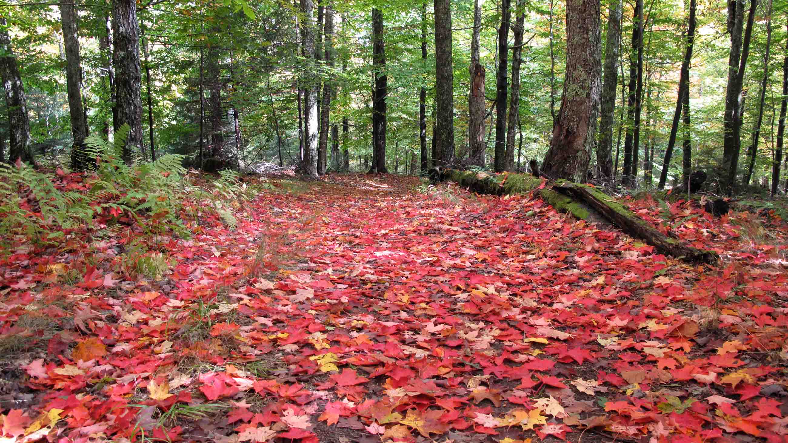
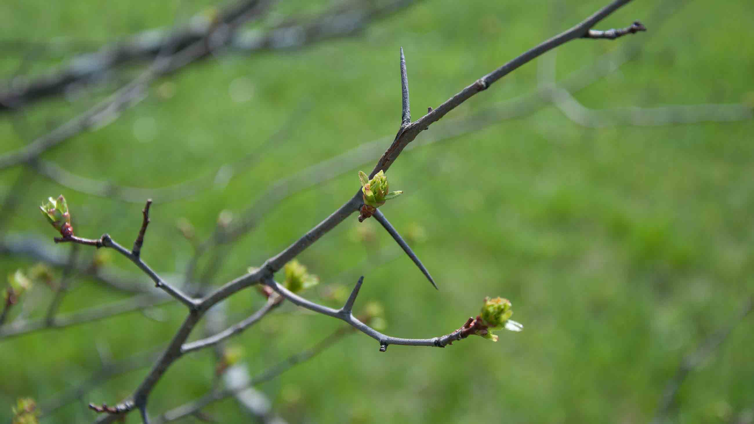
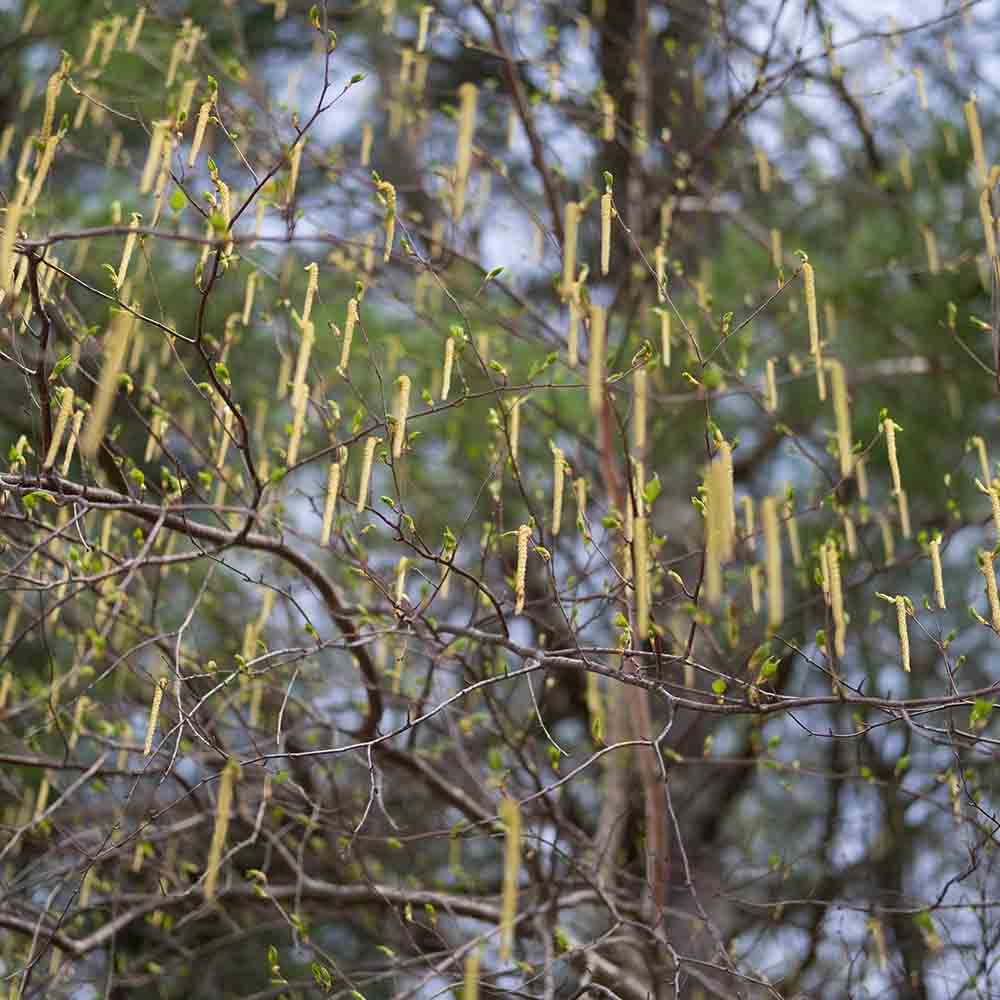
Each year, as the earth’s tilt eases back toward the sun, the wintry northern hemisphere gives way to spring, and thousands of species of plants, insects, and animals stir back to life. Months later, as the planet leans away again, darkness and cold and slumber take hold. Phenology is the study of these rhythmic biological events, from the crocus’s first push through a crust of snow to the drifting of red-tinged leaves from the baring boughs of trees. No beginning. No end.
Or, rather, all beginning and all end. In the parlance of the USA National Phenology Network, this field of study takes “the pulse of the planet,” and researchers are recognizing that as climate change drives global temperatures upward, that pulse is quickening. In 2017, biological spring arrived much earlier than average across wide swaths of the U.S.
But what do those changes mean for ecosystems and people? To answer that question, biologists are teaming up with geographers and earth scientists to create phenological maps of the planet, drawing on everything from the nature journals of long-dead men to satellites snapping photos from 400 miles above the surface of the earth, hoping to gain a better understanding of what it means to live in a warming world.
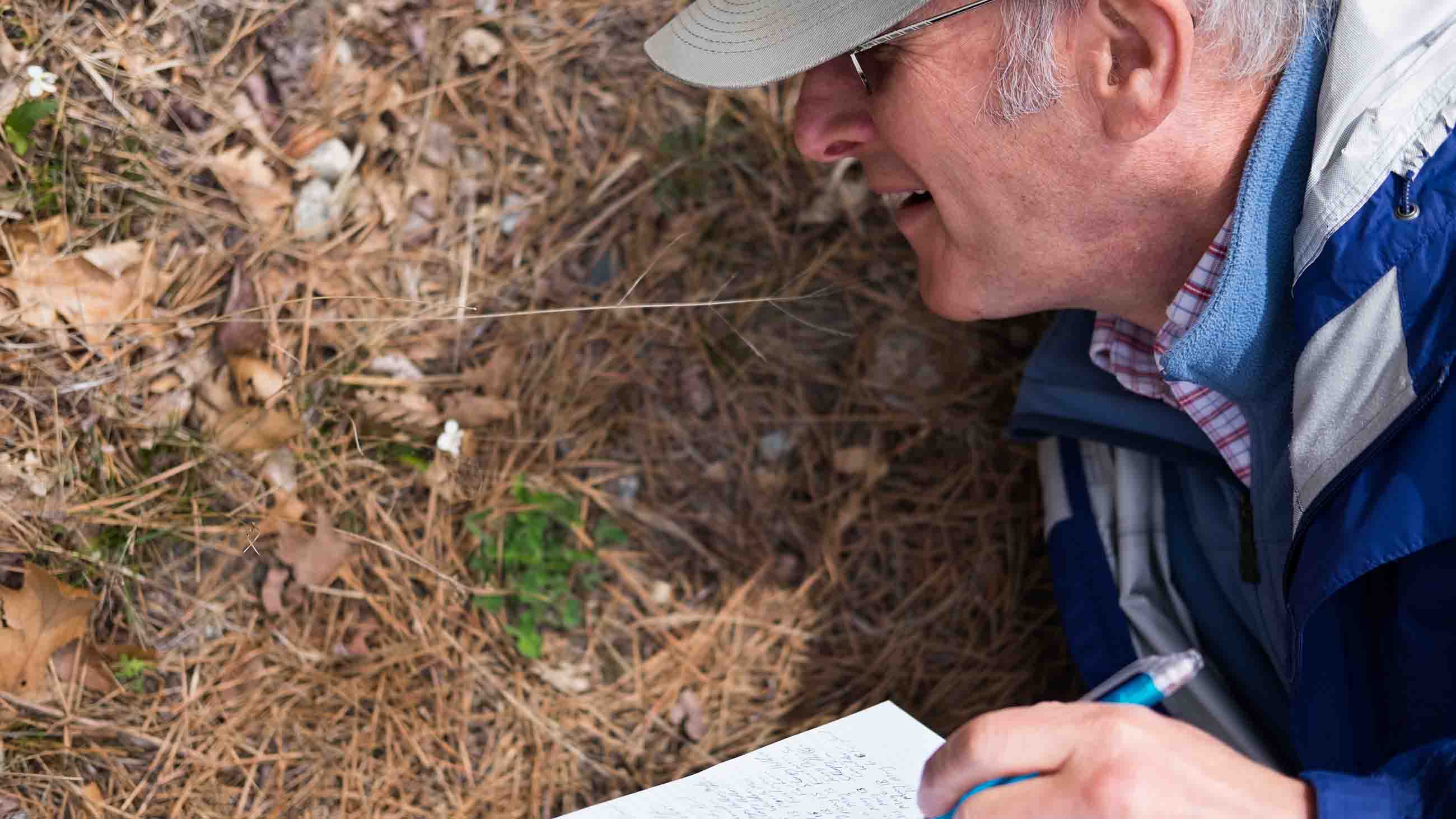
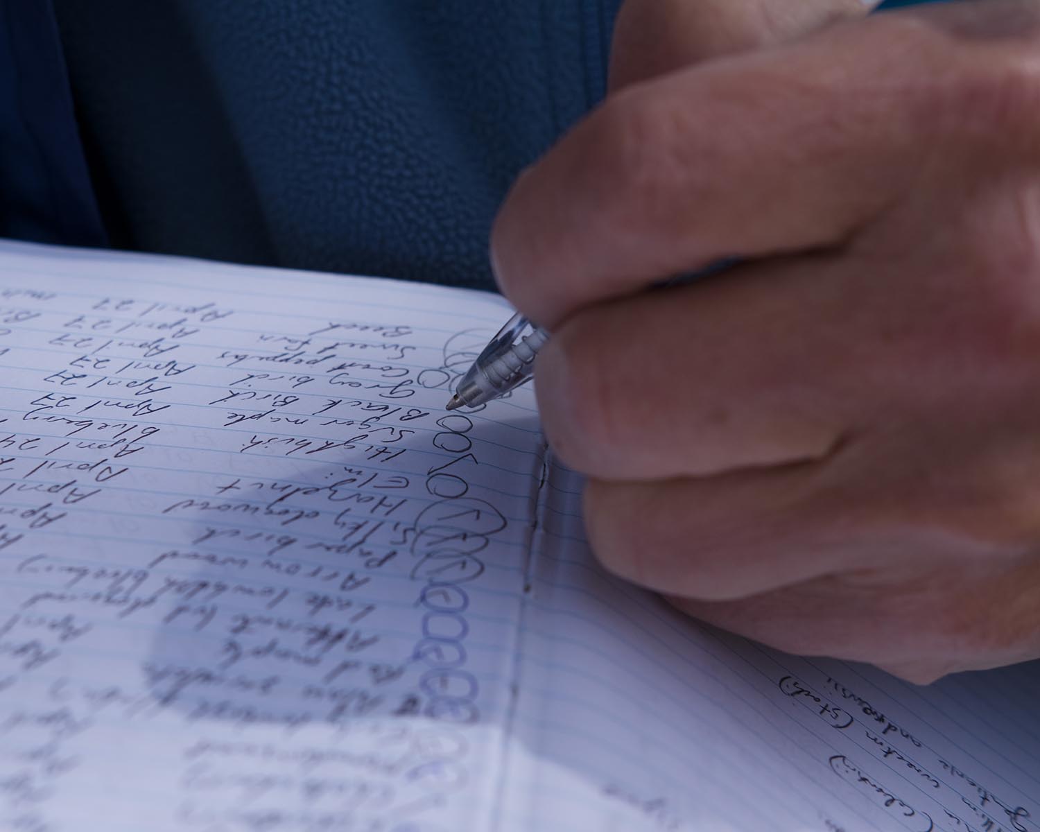
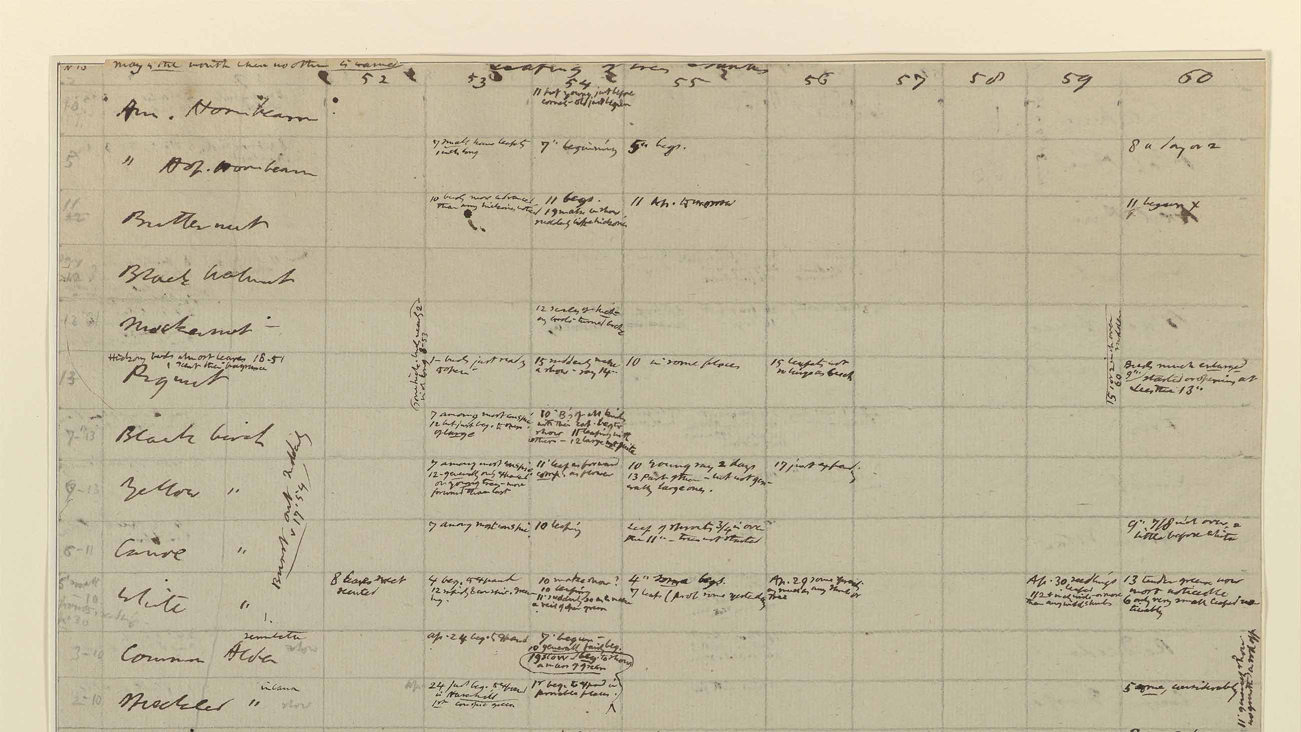
For details on historic spring blooms, Richard B. Primack, a biologist at Boston University, turned to the detailed record-keeping of Henry David Thoreau, who declared himself a “self-appointed inspector of snow-storms and rain-storms.”
The writer not only meticulously documented the weather, but the first blooms of bog azaleas and the arrival of swamp sparrows to Concord, Massachusetts, during his Walden Pond reverie years of the 1840s and 1850s. The Industrial Revolution was kicking into full swing, and that was part of what he was escaping when he took to the woods to live deliberately. It’s also a foundational reason for why we are facing anthropogenic climate change today, as emissions of carbon dioxide into the atmosphere expanded with the proliferation of fossil fuel-burning factories and cars and power plants.
I first met Primack in late February. A few days earlier, the temperature in Boston went from 58 degrees Fahrenheit to 14 degrees in the span of 12 hours and slingshotted back to nearly 70. New Englanders are “always talking about the weather because it’s so variable,” he said. “It’s always changing, seasons and from day-to-day.”
But lately, this variation is skewing primarily in only one direction. “Now we’re in a distinct warming period because of climate change,” Primack said, “breaking more records because the temperature in general is warmer” — more than three degrees Celsius warmer in the Boston area since the 1850s.
Comparing his spring census over the last 13 years with Thoreau’s from the mid-19th century, Primack found that the natural world has had a distinct response: Trees and bushes are leafing out 18 days earlier and insects emerging 13 days before schedule. But birds only arrive about three days early. Systems once in natural harmony — tender young leaves that emerge right when they are needed by hungry caterpillars, which in turn provide food for migratory birds — are at risk of being tipped out of sync.
Still this level of observation, bud-by-bud, is enormously time-consuming, and only answers questions on a hyper-localized scale. Environmental geographer Dr. Eli Melaas of Boston University’s Land Cover and Surface Climate Group in the Department of Earth and Environment focuses on landscape-level phenology. His work is to decipher the sky-high images from Landsat satellites that circle overhead, beaming down images of the earth’s surface. A joint project of the U.S. Geological Survey and NASA, Landsat provides images with a resolution of nearly 100 feet per pixel. When Richard Primack looked closely at the images of his BU colleague, he recognized individual trees he knew from his on-the-ground research.
Together, Primack and Melaas realized they could link their disparate vantages — one from the ground, the other from the clouds — into a unified understanding of the phenology of the Northeast. Knowing what plants the Landsat images are capturing is key to understanding the nuances of the landscape as it shifts and shimmers. “We have to know that what we’re detecting is accurate,” Melaas said of the importance of pairing Primack’s data with his own. “Having ground data is insurance.”
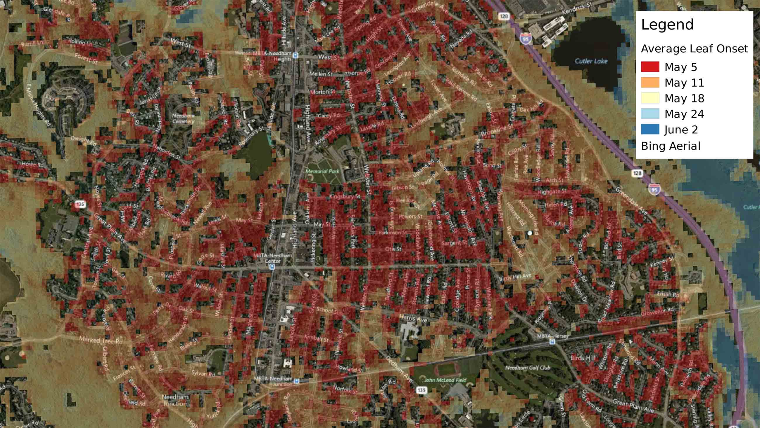
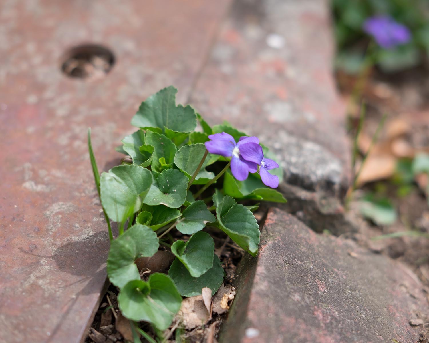
What the two researchers have learned is that the early-leafing species tended to be non-native ornamentals planted around human habitation, such as Norway maples. The dominant native white oaks of undeveloped areas resist succumbing to an early spring, as though they know better than to fall for the false starts of New England springs. The research could provide insight into what to expect with a warming climate, especially by using the heat island effect in developed urban areas as proxies for a region that is warmer in the future.
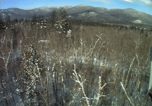
Combining a year’s worth of photos from the Bartlett Forest PhenoCam, Margaret Kosmala, a global change ecologist at Harvard, captured the changing seasons in New Hampshire’s White Mountains.
Visual: Richardson Lab, Harvard University
But there’s a great distance between satellites and boots on the ground, and other researchers are stepping into that space. Andrew Richardson’s lab at Harvard University began using “PhenoCams,” stationary cameras set to snap repeat images over time to better capture a long-term picture of phenological change within an ecosystem. Though the project began in New England, the PhenoCam Network now has more than 400 cameras positioned in forests from South America to the Arctic to monitor landscape-level change.
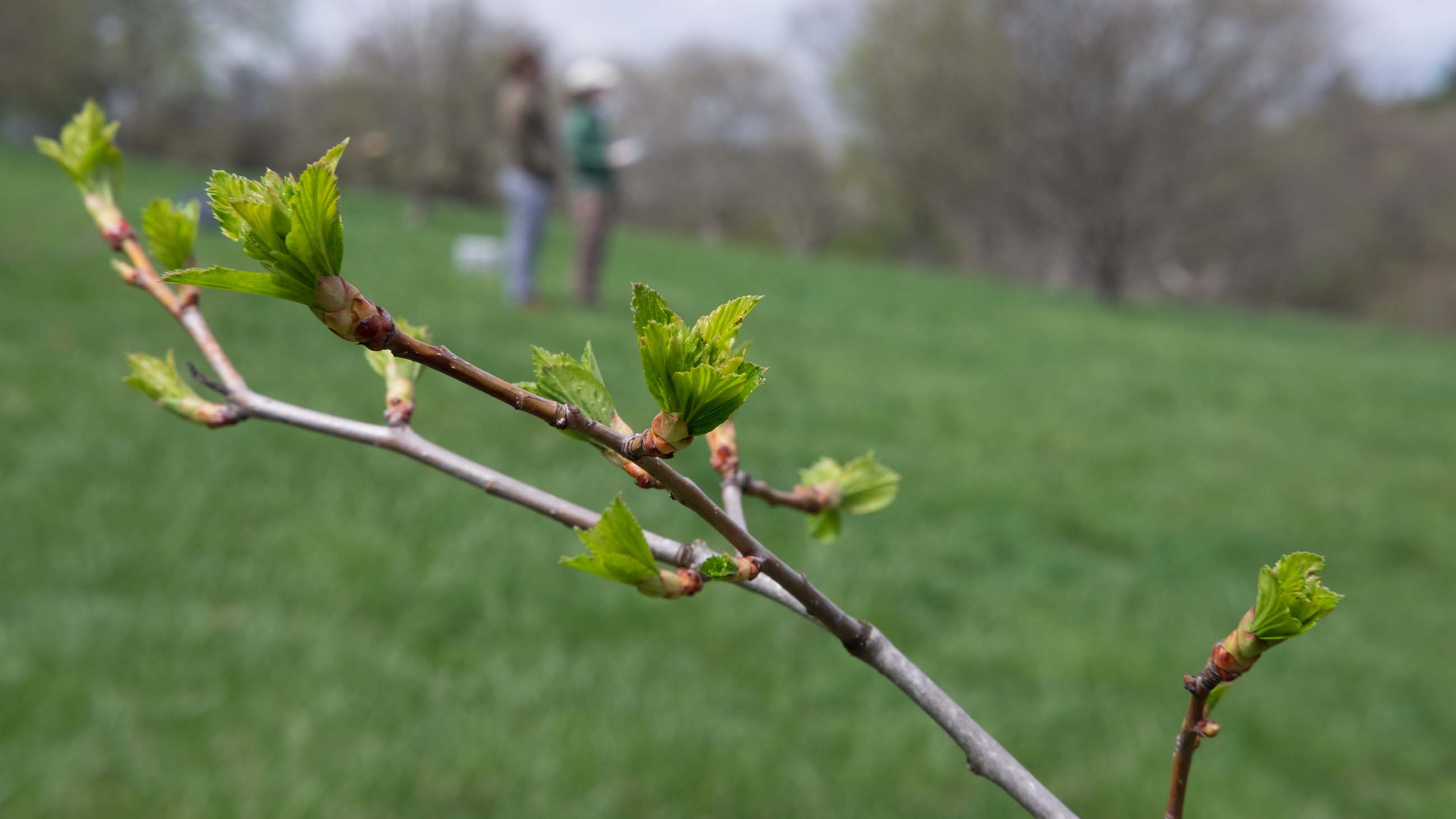
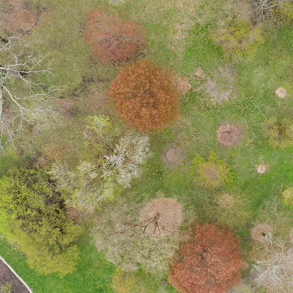
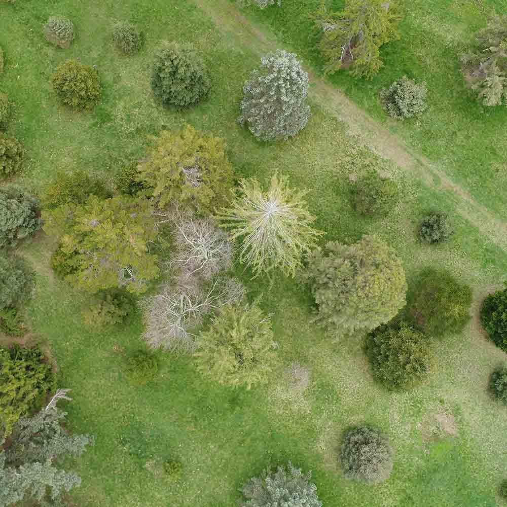
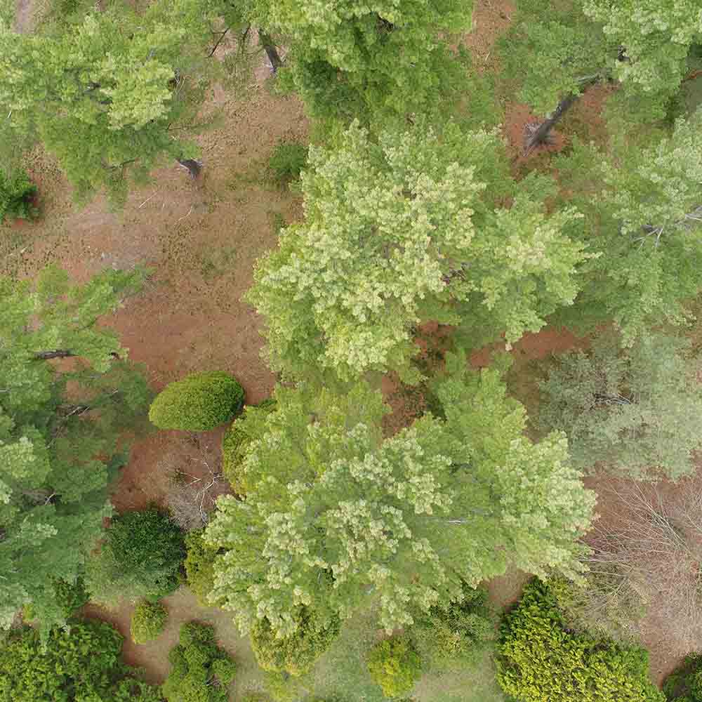
And then there are the images now being captured by drones. On a cool March morning, Richardson Lab researchers Margaret Kosmala and David Basler launched a Phantom 4 Pro from atop Peters Hill in Arnold Arboretum in Boston.
Zipping 200 feet above the surface, following the topography, the small white buzzing contraption caused nearby dog walkers to pause and look up. The device recorded the landscape with “really, really high resolution,” said Kosmala, “kind of ridiculously high.” Each pixel can capture half an inch on the ground. Forget a grand old canopy; these crystal clear photographs provide orthoimages that portray a non-distorted view from directly above, helping the researchers get an accurate map-like view with high precision.
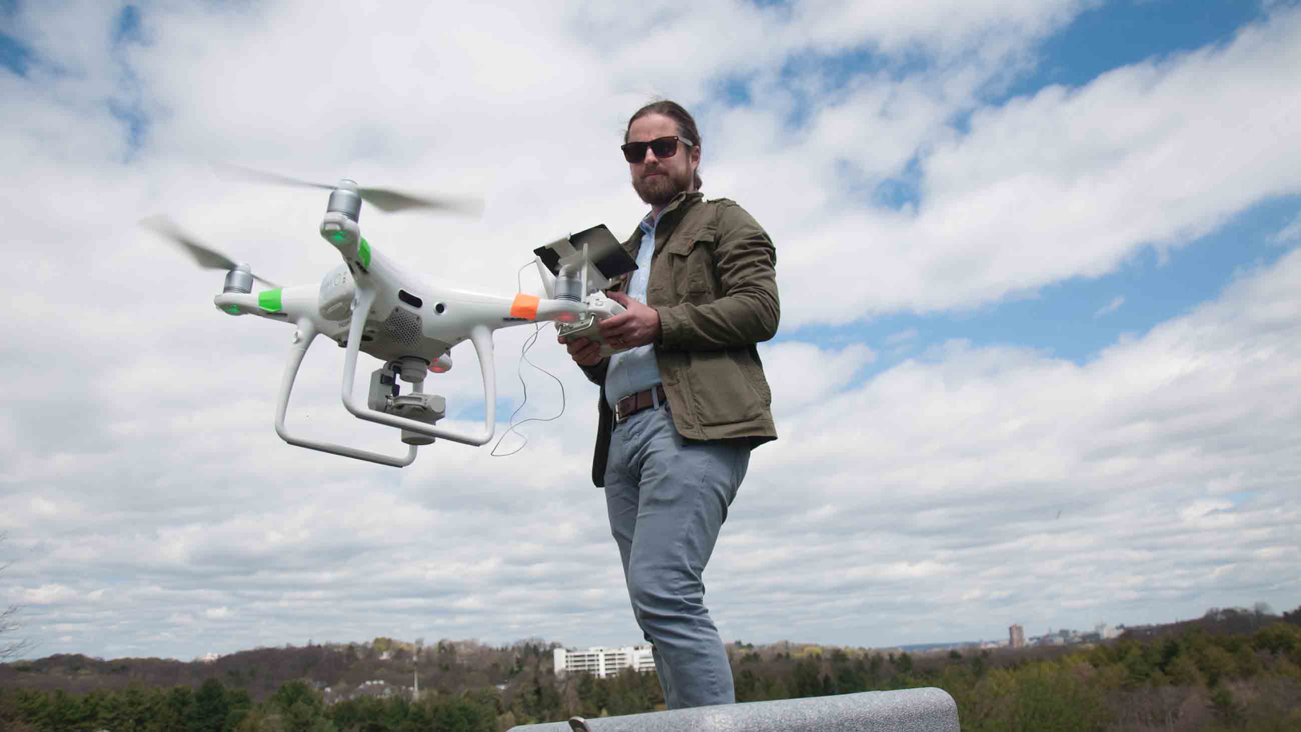
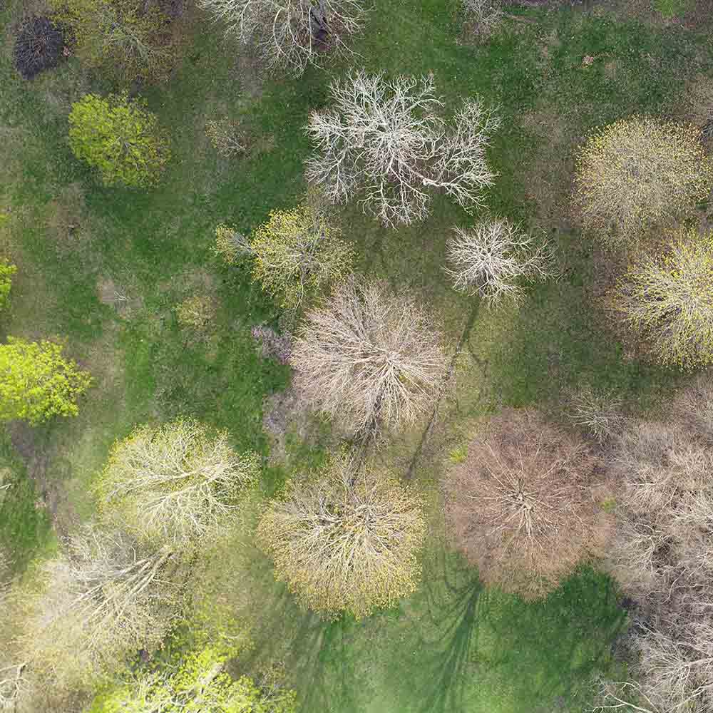
But like Melaas, the drone researchers need ground-truthing as well. They too are teaming up with Primack and his colleague Matthew Rothendler, who walk transects in the arboretum to see from below what the drones see from overhead, ensuring that the drone images can be interpreted accurately.
PhenoCams and drone data offer intermediate vantages that fill in the gaps between the close-up work of Primack and the regional-level look that Melaas is taking. All seeing creatures do this sort of telescoping, zooming in and out to gain a comprehensive understanding of a place. These scientists are doing the same, using technologies from Thoreau’s pen to roving satellites.
In the years since Thoreau took deliberately to his Walden Pond woods, New England had been a highly inhabited and intensively studied place. But as climate change transforms the planet, phenological studies will continue to increase around the country and world. For climate researchers considering leaf-out on the landscape-level, they hope to answer pressing questions about carbon storage. The longer the growing season, after all, the more carbon uptake.
Conversely, there’s also more respiration through the breakdown of organic life when ecosystems warm up, especially in places once permanently frozen, and scientists are still grappling with what the net results might be.
One study found that more than half of America’s national parks have “extreme” early springs compared to a century ago and another revealed a particular Arctic vulnerability, with one species of sedge blooming nearly a month earlier than it did just a decade ago.
The importance of these changes is just beginning to be understood.
Maybe Thoreau, the quintessential homebody, could dismiss the new nineteenth-century technology of the telegraph and write, “Maine and Texas, it may be, have nothing important to communicate.” But in a time of climate upheaval, sharing information from the leaf buds of Concord oaks to the aerial images beamed from great altitudes might be how scientists become the “self-appointed inspectors” of a new century.
CORRECTIONS: An earlier version of this story cited an outdated figure for the number of cameras that belong to a global PhenoCam Network. While it is true that the cooperative now boasts “more than 80” cameras as originally written, the actual number is now over 400 cameras. The figure has been updated.
The piece also inaccurately referred to certain species of trees as “early bloomers.” In the context of the research described, they are “early-leafing” species. Also, the black locust is not among these early-leafing species.
Meera Subramanian is a U.S.-based journalist who writes about culture and the environment for newspapers and magazines around the world. Her first book, “A River Runs Again: India’s Natural World in Crisis,” was published in 2015, and she was awarded a Knight Science Journalism Fellowship at MIT for the 2016-17 academic year.
Comments are automatically closed one year after article publication. Archived comments are below.
Best trees you can fine in Hawai !
“But lately, this variation is skewing primarily in only one direction. “Now we’re in a distinct warming period because of climate change,” Primack said, “breaking more records because the temperature in general is warmer” — more than three degrees Celsius warmer in the Boston area since the 1850s.”
Please recheck your figures. More records have been broken for cold than hot. We’ve added new phrases to our vocabulary such as “polar vortex”. The great lakes freeze over now where they almost never have. Winter is early and leaves late and the arctic ice is still all there which you can see for yourself in this NASA sat photo.
This opinion piece oif long on corporate propaganda but short on science. It does not reflect the state of the planet well at all.
The math behind AGW had failed by 2012, the math behind the cfc/ozone “crisis” had failed by 2014. Neither were real it turns out and the irony is the hole in the ozone layer formed because it got a bit warmer but now it’s closing because it’s getting colder again.
Global-what-was-that-you-were-saying?
You have old data. Please educate yourself on matters of science before you write about them next time.
P.S. The old game of adding “climate” as a word to grant proposals is well documented, you don’t need to do it again. Can’t get paid to study species X? Change the subject to “Climate and species X” – works every time.
Refs:
http://rs79.vrx.palo-alto.ca.us/opinions/ideas/climate/.images/nsidcglobalseaiceareasince2000.gif
http://rs79.vrx.palo-alto.ca.us/opinions/ideas/climate/.images/nasa_arctic_ice.jpg
http://rs79.vrx.palo-alto.ca.us/opinions/ideas/climate/ozone/strahan2014.pdf
Nice to see actual facts. Especially after such a beautifully written load of hogwash like this article.