In Latin America, Using Crowd-Sourced Maps to Improve the Lives of Women
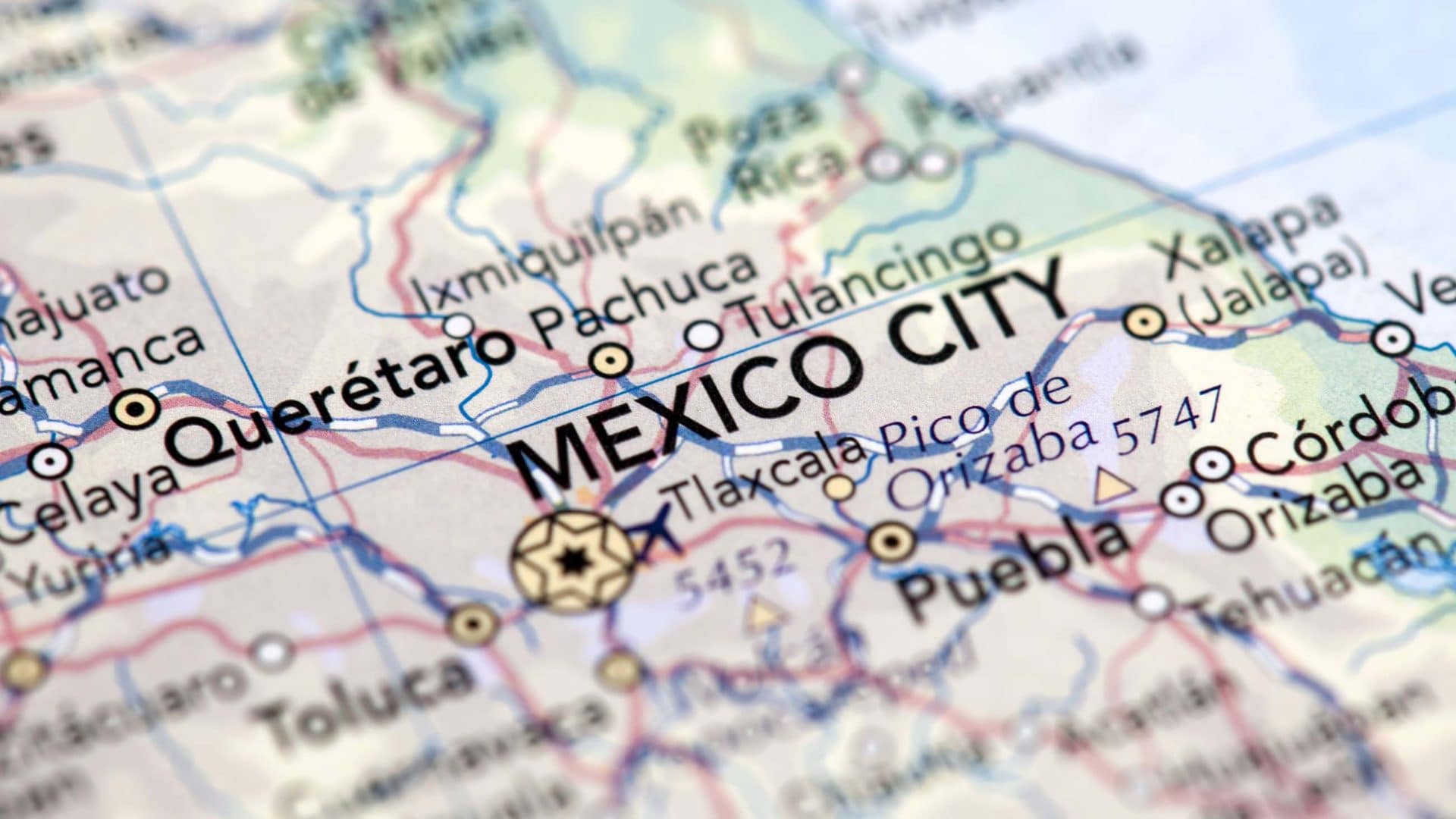
On February 16, 2018, a 7.2 magnitude earthquake rocked the state of Oaxaca in Mexico, the third in a series of earthquakes to hit the country in less than a year. To provide shelter and offer aid to the people whose homes were destroyed, the Mexican federal government introduced temporary public shelters across the affected regions. But local communities in Mexico are understandably wary of government interventions, and women in disaster relief shelters are especially vulnerable to abuse and harassment.
Later that year, an all-female team of volunteers known as Geochicas received a micro-grant to use OpenStreetMap, a free and open-source map of the world, to investigate the situation. The need for such work is vast. “Each year, disasters around the world kill nearly 100,000 and affect or displace 200 million people,” said Jorieke Vyncke, coordinator for the Missing Maps Project at Doctors Without Borders, an internet-based initiative that seeks to provide precise geodata for disaster-prone parts of the developing world.
As part of their investigation, the Geochicas team toured 18 municipalities across Oaxaca, interviewing members of the local community and collecting information on the roads, houses, and public buildings through digital mapping technology. They found that residents seeking government help were often faced with issues like political favoritism and corruption, and so locals leaned on strong community ties to create their own temporary private shelters. Through mapping and interviews, Geochicas was able to show where women in these shelters felt safe from violence.
The project is part of a larger global trend where individual volunteers and organizations contribute to OpenStreetMap by charting underserved regions through publicly available satellite imagery, conducting on-site surveys, and raising awareness of issues like gender discrimination, disaster management, and government corruption.
As part of this growing community, Geochicas aims to eliminate the gender gap in digital mapping by tackling issues like sexual violence, gender bias, and equal opportunity throughout Latin America. Since the group’s founding in 2016, for example, they have built a map of femicides — defined by the World Health Organization as the “intentional murder of women because they are women” — in Nicaragua and ranked public spaces based on violence against women in Mexico. And in celebration of International Women’s Day 2019, the group organized an online event to list and map all available establishments — support centers, legal and social consultancy programs, health clinics, and more — that supply aid to women who are victims of gender-based violence throughout Latin America. The so-called editathon and mapathon included participants from Argentina, Bolivia, Paraguay, Uruguay, Mexico, and Spain.
“It is fascinating to see the increasingly broad range of ways that OpenStreetMap is being used to address significant issues at the grassroots level,” said Jon Corbett, a geographer at the University of British Columbia’s Okanagan Campus. Problems with “access to smartphones and data packages prevent universal uptake,” he added, but “the ability to access and build on precise locational data is bringing the power of digital maps to a broad range of users.”
Geochicas started in 2016, days before a conference on the challenges faced by the digital mapping community, when three OpenStreetMap users — Miriam González, Selene Yang, and Céline Jacquin — organized a pre-event to talk about the specific problems facing the women in the community. The pre-event proved popular and led to the creation of a women-only organization of volunteers focused on looking at the map of Latin America — and by extension, the world — through a feminist lens.
Geochicas carries out most of their fieldwork with simple tools, according to González: a smartphone with GPS and a camera. The mapping consists of three steps. First the team makes a map using publicly available satellite imagery from government and other open access sources. Next, they go on site to develop a visual map of the area by taking pictures and using GPS with photo-mapping platforms like OpenStreetCam and Mapillary. In the final step, the team scouts the area to determine any disparities between the satellite imagery and the reality on the ground, labeling buildings as business, residential, or institutional and plotting that data onto charts.
Much of the work revolves around tackling gendered violence and allowing women to safely navigate their local environments. “I believe that community-based projects are key in preventing and fighting sexual violence,” said Ariadna Estévez, a researcher on human rights with the Center for Research on North America at the National Autonomous University of Mexico. Estévez added that while she feels optimistic about Geochicas, she fears that women undergoing abuse lack the awareness or the means to seek out these resources on their own. In order for women to actually be able to take advantage of all this information, she said, it is important that projects like this make their work available to private and public institutions working with abused women.
In addition to filling the gaps in today’s maps, Geochicas also highlights the work of women who came before. In 2018, the group prepared a series of infographics titled “Mujeres Mapeando el Mundo,” or “Women Mapping the World,” to celebrate the achievements of female explorers, cartographers, and geographers whose contributions have been suppressed throughout history in favor of their male counterparts. Not long after, Geochicas used an open-access mapping framework to perform a survey of every single street named after a prominent woman in Latin America and Spain. The cities mapped so far include the Paraguayan capital Asunción, Barcelona, Buenos Aires, Cochabamba in Bolivia, Havana, Mexico City, Montevideo in Uruguay, and more. The project also made sure each of the women’s biographies had been added to Wikimedia.
In the spirit of bolstering equal opportunity in digital mapping, the collective also did an international survey of the OpenStreetMap community, said Geochicas cofounder Selene Yang, “in order to update the figures on the gender gap that exists between people who map and are part of the community and also to study the indices on violence and cases of exclusion within the community.”
For their next project, Geochicas wants to more widely explore and highlight femicides. In 2017, at least 2,795 women in these regions were murdered because of their gender, according to a report from the Gender Equality Observatory of the Economic Commission for Latin America and the Caribbean (ECLAC).
“Femicide is the most extreme expression of violence against women,” noted Alicia Bárcena, executive secretary of ECLAC, in a press release. “Neither the criminal classification of this offense nor the efforts to make it statistically visible have been enough to eradicate this scourge that alarms and horrifies us on a daily basis.”
Geochicas is taking part in a regional effort that is looking to standardize data from various sources, such as the femicide project in Nicaragua, information on violence in Paraguay, and a map of femicides in Mexico, to create an interactive map that displays reported cases and complaints across the region. “A lot of stuff is missing,” said Jacquin. While this project doesn’t have an official timeline yet, she added, the team aims to explore it thoroughly this year.
Projects like these, as well as the associated mapathons are a great way for audiences of different backgrounds to come together, said Vyncke of the Missing Maps Project at Doctors Without Borders, and to work towards creating a safer world for places most vulnerable to humanitarian crises.
Ritoban Mukherjee is a freelance science journalist based in West Bengal, India.


Comments are automatically closed one year after article publication. Archived comments are below.
Finally, there is something going on, with this mass problem of ‘femicide’. AS you all must know, in British Columbia, Canada alone there has been so many, too many, indigenous women going missing/murdered and there has been not much help in finding most of them. Where I come from now dubbed ‘the highway of tears’, between Prince George BC and Prince Rupert BC, there has been so many missing/murdered indigenous women and some indigenous men. This program is well needed in this part of Turtle Island. Make this an international project. NOw with the oil and gas pipelines possibly going through BC, there will be more and more ‘missing/murdered indigenous women’, as with the projects comes more violence, femicides.